Urban Connectivity
Roads connecting cities, neighbourhoods and economic hubs.
BENROMA's road-network management mandate is focused on the effective and sustainable management of existing State roads and supporting a structured approach to road infrastructure information, inspection, intervention and monitoring across Benue State.
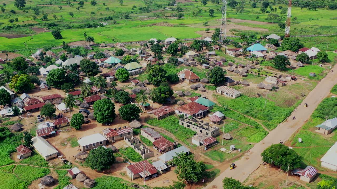
Roads connecting cities, neighbourhoods and economic hubs.
Roads linking rural communities to towns, services and markets.
Roads supporting farming communities, markets and agricultural productivity.
Corridors connecting LGAs, towns and key socio-economic zones.
The BENROMA digital road network information environment is being developed to provide structured information on roads, classifications, conditions, inspections, infrastructure assets and maintenance activities as the system is progressively deployed.
A structured digital road register will provide a consistent record of each road and its operational information, supporting inspection, maintenance planning, reporting and management.
Unique identification and official road-name information for network records.
Geographic and administrative location information associated with each road.
Functional and administrative classification supporting network management.
Structured information about road length, sections and chainage for reference, inspection and maintenance planning.
Information describing road surface and carriageway characteristics relevant to assessment and maintenance.
Current and historical information supporting the assessment of road condition and maintenance needs.
Records of inspections and observations made during routine and condition-based road assessments.
Links between roads and associated infrastructure assets such as bridges, culverts, drainage and road furniture.
A future GIS environment will connect road locations with road sections, infrastructure assets, defects, projects and maintenance locations to support spatial understanding of the network.
Visualise the road network, assets, projects, defects and maintenance locations spatially.
Spatial representation of roads and their defined sections.
Infrastructure crossing rivers, streams and drainage channels.
Open drains, U-drains, box drains, culverts and outlets.
Retaining walls and related structures supporting road stability.
Signs, barriers, markings and other roadside safety infrastructure.
Roadside terrain and supporting earthworks relevant to network condition.
Spatially linked defects, interventions, projects and maintenance locations.
Structured inspection and condition information will support early identification of defects, maintenance prioritisation and continuous monitoring of the road network.
Structured assessment of road condition and infrastructure performance.
Potholes, rutting, cracking, pavement failure and other defects affecting road condition.
Environmental and drainage conditions affecting the performance of roads and infrastructure.
Routine inspection and monitoring will support timely identification of changing road conditions and maintenance requirements.
Road-condition information provides the foundation for structured maintenance planning and intervention. Identified defects can progress through assessment, prioritisation, execution and verification.
The objective is to support a traceable maintenance process in which interventions and their outcomes are properly recorded for future reference.
Identify and record road defects and infrastructure conditions requiring attention.
Assess the technical nature, severity and implications of identified conditions.
Prioritise interventions based on condition, urgency and importance.
Allocate activities through an appropriate work-order process.
Coordinate personnel, equipment and other maintenance resources.
Carry out approved maintenance activities and record the work.
Measure and verify that the required maintenance work is delivered.
Close completed interventions and preserve the resulting maintenance history.
Public reporting, road projects, maintenance interventions, historical condition information and digital road intelligence can provide a stronger foundation for planning and management decision-making.
Report road defects and road conditions requiring attention.
Report an IssueReports are validated and followed up through an appropriate process.
Projects and interventions can be linked to roads, locations and assets.
Monitor project progress, implementation information and outcomes.
Access structured dashboards, reports and key road-network information.
Plan maintenance based on road condition, inspection information and data.
Analyse road-condition trends and performance over time.
Use spatial information to understand network conditions, infrastructure and maintenance locations.
Equipment information can support maintenance resource planning and operational coordination.
Integrated road information can provide a stronger evidence base for management and maintenance decisions.
Together, we can maintain roads, protect lives and support a connected, prosperous and resilient Benue State.